What to Do When Chain of Craters Road is Closed: How to Still See HVNP

If there’s a lava eruption or threat of an eruption in Hawaii Volcanoes National Park, oftentimes they will close Chain of Craters Road, a 19 mile road through the park.
This is a significant chunk of the park to not see, especially if you’ve paid an entrance fee and driven all the way from Kona or Hilo.
Not to fear!
There is still plenty to see and do in the park both inside and outside the gates to make the drive and visit still worth doing.

Shaka Guide App
A GPS audio tour that guides you through HVNP with interesting information, corny dad jokes, and Hawaiian musical interludes.
📍 Overwhelmed planning your Big Island trip?
I offer Big Island travel planning services based on your level of need:
✔️ Itinerary Review
✔️ Custom Travel Planning
✔️ One-on-One Video Consult
See How I Can Help You ➡️
Hawaii Volcanoes National Park – Inside the Gates

There is an entrance fee to Hawaii Volcanoes National Park (HVNP), which you’ll pay to the park ranger at the entrance gate.
⚠️ Please Note: HVNP is undergoing major constructions until 2026, with certain areas and sites being closed to the public, like the Visitor Center. Check current construction closures here.
Ha’akulamanu Sulphur Banks
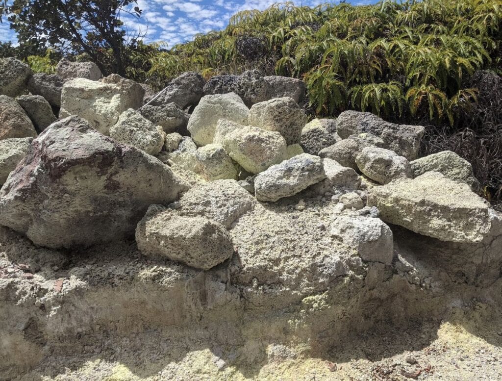
If the smell of boiled eggs is your idea of a signature scent, you’ll love the Ha’akulamanu Sulphur Banks trail.
As Mark Twain put it after visiting Kīlauea’s summit in 1866:
“The smell of sulfur is strong, but not unpleasant to a sinner.”
(I have to admit, the “sinner” that I am, when I’ve visited, the smell wasn’t too overwhelming).
The 0.7-mile trail starts at the visitor center and ends across the street from the steam vents. However, the sulphur banks are only about a 0.2-mile walk from the visitor center if you don’t want to walk the whole thing.

The trail is flat and paved with some wooden boardwalk sections.
The sulphuric rocks display a variety of colors and textures, due to a bunch of chemistry makeup that I don’t understand. But it’s cool to look at.
Steam Vents
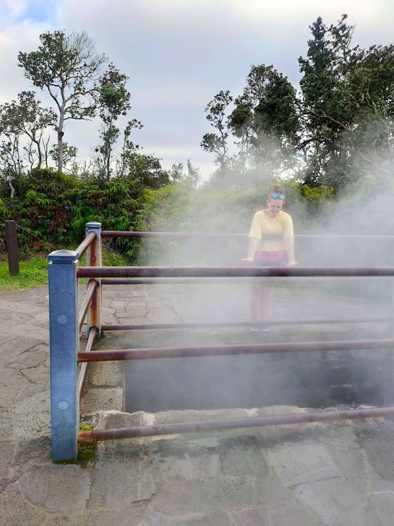
The steam vents are a quick stop where you can warm your face and hands over volcanic steam rising from vents in the ground.
The steam is created as rainwater seeps underground where it’s warm from the magma below and evaporates into gaseous plumes. After a good rain, the steam is noticeably more intense.
The vents by the parking lot are fenced for safety, but you will see other plumes of steam rising from the grassy fields.
The short walk to the overlook also offers a great view into the crater, as well as more steam views rising from the cliffs.
Kilauea Military Camp

You’ll drive past the historic Kilauea Military Camp where, if you have a valid military ID, you can rent cabins at rates based on your rank. The camp has a laid-back summer camp vibe, with uniform beige buildings and plenty of outdoor activities like tennis, basketball, and the playground.
Though the cabins are reserved for military families, civilians are welcome to enjoy the camp’s amenities. So you can still take advantage of the arcade and 6-lane bowling alley, a great thing to do if it’s raining.
Kīlauea Overlook and Uēkahuna Overlook

Kilauea Overlook and Uekahuna Overlook are connected by a 0.5-mile stretch of the Crater Rim Trail, so you can easily park at one and walk to the other or drive to each one.
From both overlooks, you can peer into the massive Kilauea crater, and if it’s active, you might even see some lava.
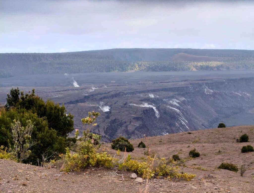
Kīlauea Overlook offers a partial crater view, but it provides some unique angles that Uēkahuna doesn’t.
Uēkahuna, however, has the most expansive view, almost like a miniature Grand Canyon.
Sometimes a park ranger is here to answer questions, explain the volcano’s history, and share its current activity.

Join thousands of other visitors and locals to discover the best things to do on the Big Island!
🌺 New activities posted daily
🌺 Upcoming events not to miss
🌺 Ask questions about your trip
Kīlauea Iki Crater Trail
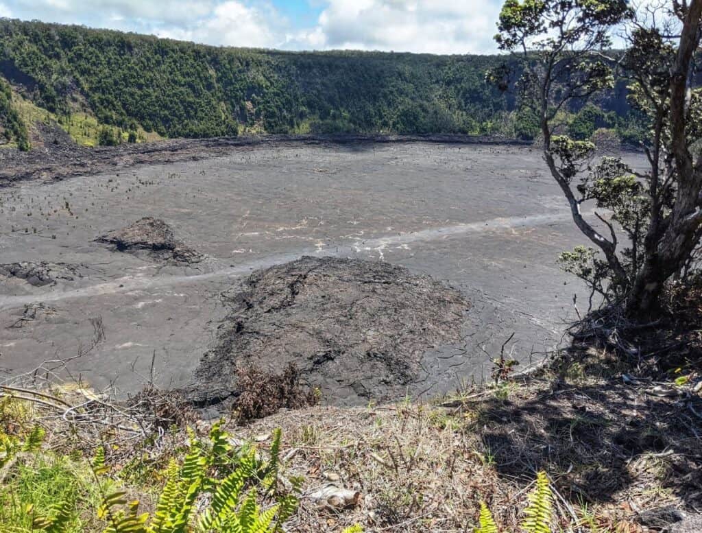
The Kīlauea Iki Crater Trail is a 4-mile loop that takes you down to the floor of Kilauea Iki Crater.
If you don’t want to commit to the full hike but still want to touch the crater floor, it’s a 2-mile round trip, out and back.
Alternatively, if you just want views of the crater, the 0.5-mile trail from the parking lot to Thurston Lava Tube is an easy walk through the forest with clearings that open up for views along the crater rim.
💁♀️ Tab’s Trip Tip: This is the most congested area in the park. This is common parking for both Kilauea Iki and Thurston Lava Tube, though there is additional street parking across from Thurston’s trailhead and where I usually have the most luck finding a parking spot.
Nāhuku Thurston Lava Tube
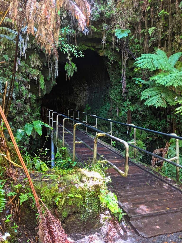
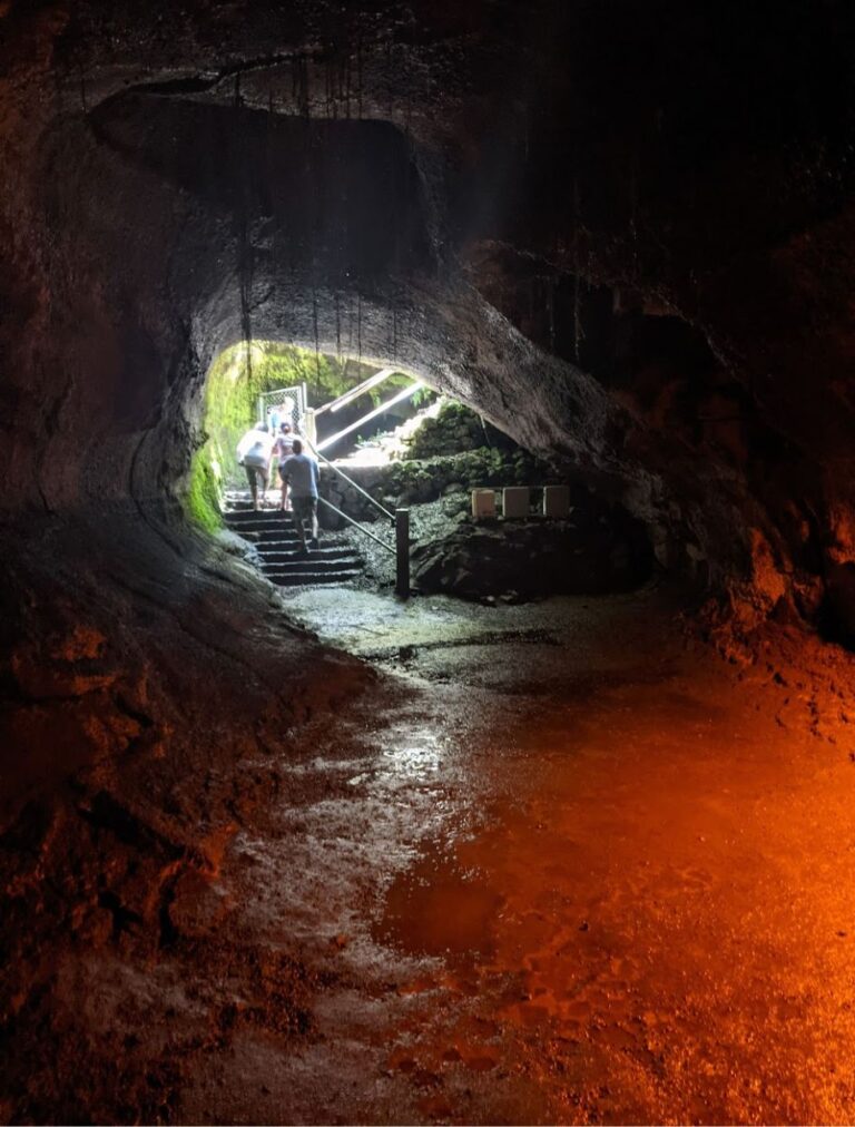
Nahuku Thurston Lava Tube is one of the easiest and most accessible lava tubes to explore on the island, making it a popular and must-stop when visiting Hawaii Volcanoes National Park.
The trail is a 0.5-mile loop, mostly paved except inside the tube itself, and a few stairs on the back end of the cave.
You’ll descend into a lush rainforest, walking beneath towering ferns and past a bamboo patch before crossing the moat-like bridge that takes you inside the 500-year-old lava tube.
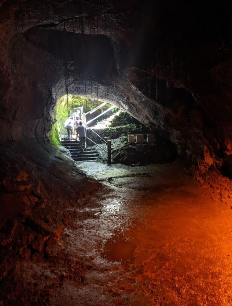
It’ll take a second for your eyes to adjust to the path lit by dim orange lights, so watch out for protruding walls and puddles that come out of nowhere.
If the trail is crowded, feel free to step aside and let people pass so you don’t feel rushed.
One of the things to do at night is to come between 8pm-8am when the tube’s lights are turned off and you can walk through in complete darkness with your flashlight or headlamp.
Devastation Trail
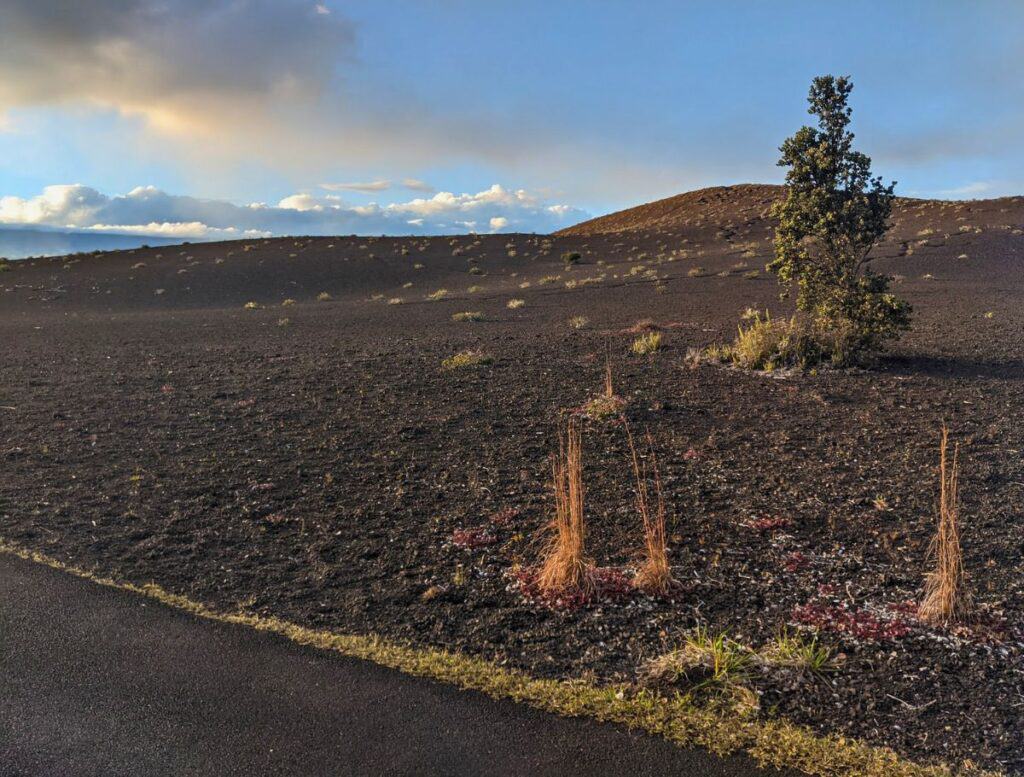
Devastation Trail is a 0.5-mile, flat paved path that follows the base of Pu’upua’i, a large cinder cone from the 1959 eruption.
You can access this out and back trail from either the Devastation Trailhead or the Pu’upua’i Overlook parking lots.
Old Crater Rim Drive Trail

Chain of Craters Road begins at the Old Crater Rim Drive Trail and Devastation Trail trailhead parking lot. So this will be as far as you can go inside the park if Chain of Craters Road is closed.
Old Crater Rim Drive Trail used to be part of Crater Rim Road, which circled Kilauea Crater. But the 2018 eruption wiped out sections of the road.
This flat, easy hiking trail IS the old paved road. You’ll even still see yellow road lines in sections.
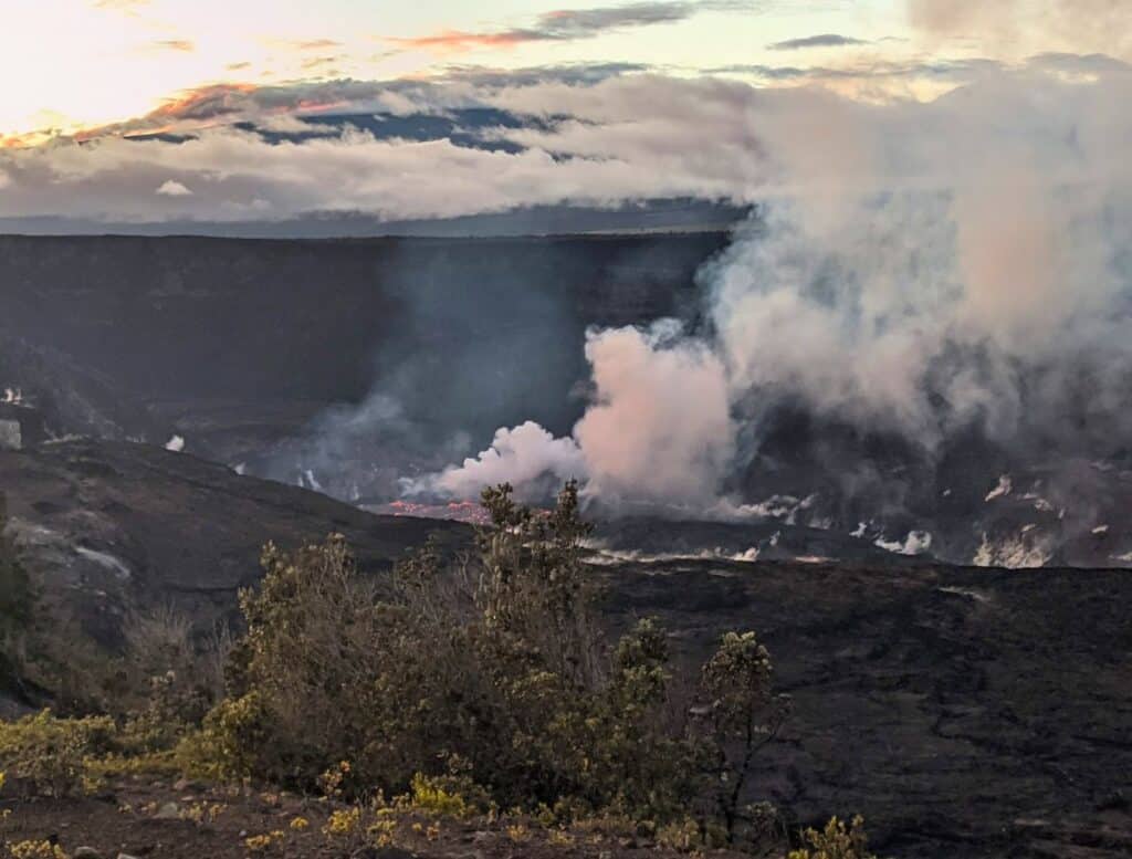
About 1 mile down this path is Keanakako’i Overlook, the most complete view of Kilauea Crater.
From the paved path, you’ll follow an easy gravel path right up to the crater’s edge. You’ll be able to spot Kilauea Overlook and Uekahuna Overlook on the opposite side of the crater.
This is typically the best viewing for lava when it’s in the crater. However, if lava is erupting elsewhere in the park, it’s likely not erupting here.
Volcano Gallery
Volcano Art Gallery is tucked inside the historic old Volcano House Hotel from 1877 and is one of my favorite spots to browse local art.
I love wandering through the creaky old rooms, discovering all the handmade Hawaiian arts and crafts. It’s kind of like walking through a museum, but you can actually buy the pieces on display.
If you’re looking for unique souvenirs, this is the place to find them.
Volcano House
The Volcano House Hotel is a good place to visit for inside Kilauea Crater views.
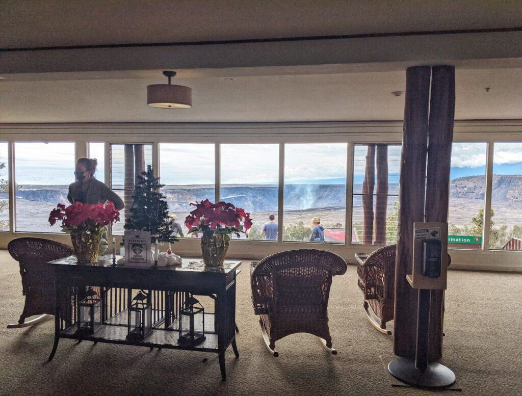
Walk through the lobby and head straight to the lounge with giant floor to ceiling windows make it seem like you’re peering out of a starship on an alien planet.
It’s a perfect spot to grab a meal at either The Rim or at Uncle George’s Lounge, both with crater views.
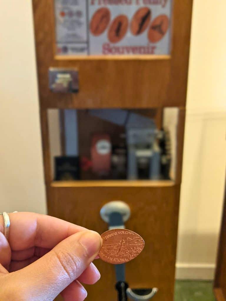
There are also two gift shops to browse locally and internationally made products. There is also a penny press in the lobby, one of my favorite souvenirs to collect.
Hawaii Volcanoes National Park – Outside the Gates
Did you know there are more HVNP sites to see outside of the gates that don’t require an entrance fee or get you anywhere near Chain of Craters Road?
Ka’u Desert Footprints Trail

Ka’u Desert Trail is where you might find ancient Hawaiian footprints embedded in the lava fields.
These footprints date back to 1790, when a massive explosion at Kīlauea’s summit blasted the area with hot gas, ash, and sand, trapping groups of Native Hawaiians traveling through the region. Their footprints, left in the fresh ash, are still visible today.
These footprints are scattered across the fields, but I haven’t managed to spot them yet.
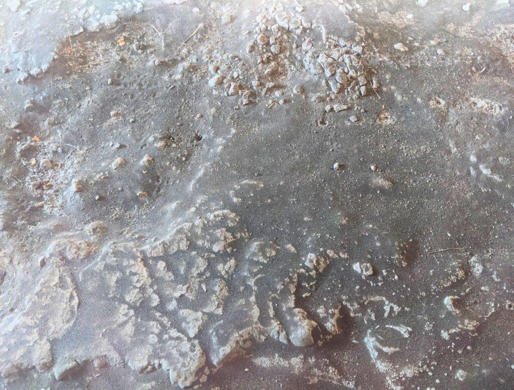
One footprint is on display in a shelter after an easy 0.8-mile walk from the Kaʻu Desert Trailhead off Highway 11. The footprint has been eroded away because of the humidity of being behind glass so it honestly didn’t look like anything to me.
The trail connects to a network of trails throughout the park, leading you to cinder cones and deep pit craters. Keep an eye out for Pele’s hair, golden volcanic fibers that actually looks like hair.
Lava Tree Molds
Lava tree molds are holes in the ground where tree trunks were encased in lava but the tree died after the lava cooled, leaving behind a hollow imprint in the volcanic rock.
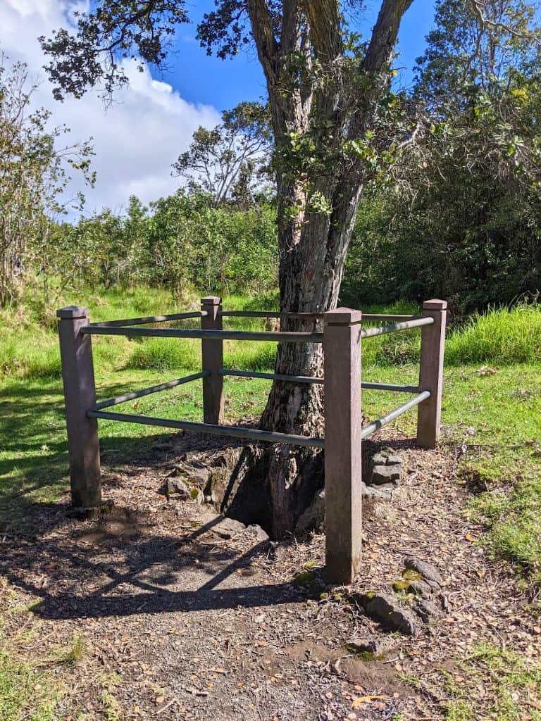
You’ll see these molds all over the park, but off of Mauna Loa Road is a designated area where they are clearly defined with fences around these holes.
It’s not very exciting, but it’s cool to see “science in the flesh” and to appreciate how new plant life has found a home within these rocky death walls.
Kipukapuaula Trail
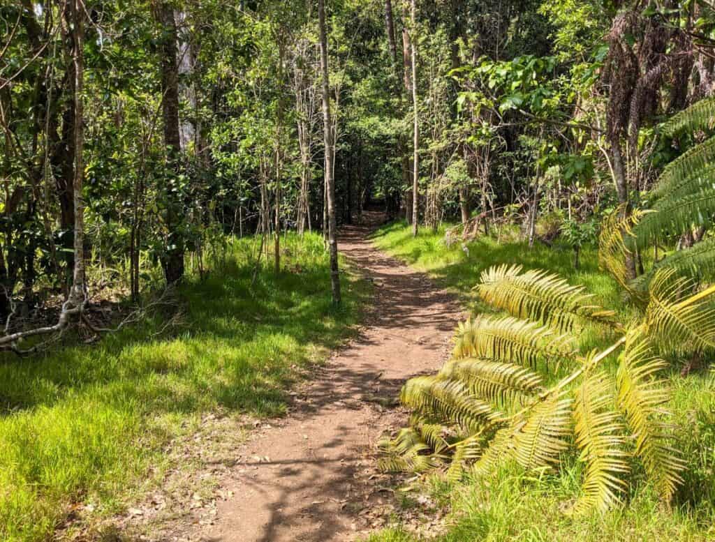
The 1-mile Kipukapuaula Trail is a loop that goes up for half the trail and back down for the second half.
A kipuka is basically an island in a sea of lava. A lush patch of tropical forest is completely surrounded by devastating lava flows on all sides.
The trail starts out looking desert-like, then suddenly transforms into a dense, vibrant forest.
There isn’t a view to look forward to or a destination. It’s just a nice, relatively easy stroll through a tropical forest with the chance of catching sights of native Hawaiian birds.

Around marker #6, you’ll come across a lava tube. While it’s not technically forbidden to explore inside, it’s definitely a “proceed at your own risk” situation. How far it goes? No one really knows.
Mauna Loa Road Scenic Drive to Lookout
Mauna Loa Road continues up the slope of Mauna Loa for about 11 more miles. Along the way you’ll see ever-changing terrain.
The trees change from ohia trees to a dense koa tree forest. The road also begins to get more windy.
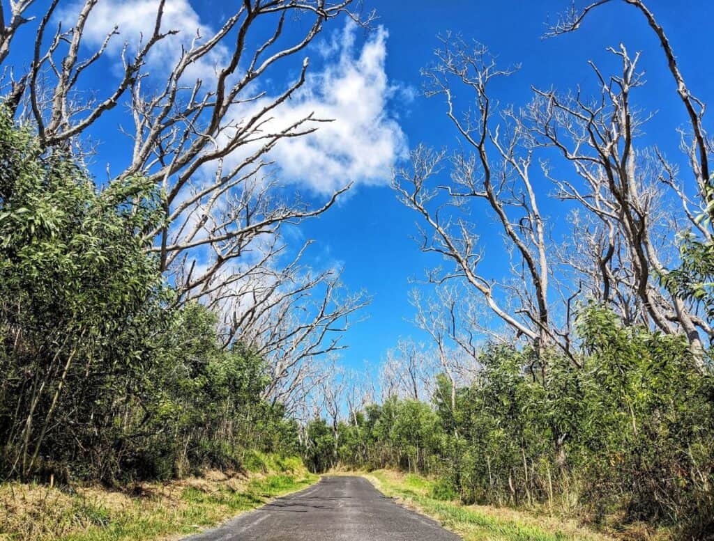
My favorite part of the drive is the forest of dead koa trees from a 2018 fire. The trunks are like white and black skeletons looming over the new green growth below.
The road ends at the trailhead for Mauna Loa hiking. The hike is a difficult 7.5 miles one way to the summit.
However, from the parking lot pavilion, on clear days you can look down on the whole park, see Kilauea smoking in the distance, and all the way to the ocean.

There is a short trail that leads you to a section to see the endangered, but recovering, Mauna Loa silversword plant, or ‘āhinahina. Their sword-like leaves are covered with tiny silver hairs and when they are between 10-30 years old they sprout a flower stalk up to 9ft tall.
This plant is only found on Mauna Loa between 5,000-8,000ft elevation, so it’s very special to see.
Other Things to Do in Volcano
Besides Hawaii Volcanoes National Park, the town of Volcano also has a few things to do to help fill your day.
Volcano Winery

Volcano Winery grows their own estate grapes and offers tastings where you can sample 6 one-ounce pours of their unique wines, each with hints of tropical fruits.
They also have estate-grown tea, so if wine isn’t your thing, you can try a separate tasting of their steeped leaves.
Shopping in Volcano Village

Volcano Garden Arts – cute gift shop filled with Hawaiian fine arts and crafts with a small, quiet garden to wander.
Cooper’s Center Farmer’s Market – every Sunday morning wander stalls filled with locally grown produce and handmade items, all at reasonable prices.
Kilauea Kreations – a small Hawaiian quilting supply store and gift store
Eating in Volcano Village
For how small Volcano Village is, there is a decent amount of restaurants to choose from.
- Volcano’s Lava Rock Cafe – ” Unfussy outpost with a global menu of locally sourced fare, an airy feel & live music”
- Thai Thai Bistro & Bar – Thai food
- Eagles Lighthouse Cafe – breakfast, sandwiches, plate lunches with outdoor only seating
- Ohelo Cafe – Neapolitan style thin-crust pizzas, burgers, salads, and seafood
- Kilauea Lodge & Restaurant – Hawaii fusion
- Cafe Ono – organic plant-based dishes
- Tuk Thai Food Truck – Thai food truck
- Rico’s Taco Shop – taco food truck
🤔 Did You Know? The Kahuku Unit is and extension of Hawaii Volcanoes National Park between Naalehu and Ocean View with over 20 miles of trails to explore? Check it out here!